Bantwal is a taluk in Dakshina Kannada district, Karnataka, India. It is also a town by the same name. The adjacent township of B.C.Road (Bantwal Cross Road) serves as the commercial center.1
The Zilla Panchayats in Bantwal taluk are Golthamajalu, Kolnadu, Kurnadu, Maani, Pudu, Sangabettu, Sarapady, Thumbe and Vittla (Vittal).
History
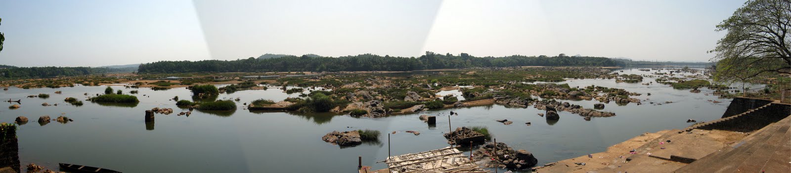
In the olden days, the town of Bantwal was known for trade. However, flooding caused by the river Netravathi during the monsoons compelled traders and newer settlements to move to the adjacent township of B.C.Road due to its higher altitude. Gradually, most Government offices shifted to B.C. Road.
Prior to 1852, Bantwal Taluk was the largest Taluk in the entire of Canara Province (then comprising of North Canara, Udupi, Mangalore and Kasargod Districts) with 411 villages and a total population of 1,69,416. In 1852, a portion of it was formed into the Taluk of Puttur. (Source: "A Gazetteer of Southern India" published in 1855, searchable via Google Books)
According to this book, Buntwal (as it is spelt in the Gazetteer) was an enterpot for the produce of the province on its way to the Mysore Country and had derived great benefit of late years from the extension of the coffee trade. It contained about thousand scattered houses inhabited by Moplas, Bunters, Konkanies, and a few Jains.
Demographics
As of 2001 India censusGRIndia, Bantwal had a population of 36,829. Males constitute 50% of the population and females 50%. Bantwal has an average literacy rate of 74%, higher than the national average of 59.5%; with 53% of the males and 47% of females literate. 12% of the population is under 6 years of age.
Mostly Bunts, Christians, Bearys and Gaud Saraswats inhabited the town of Bantwal.
Economy
The town is still considered an important trade center for groceries, tobacco, hardware and most importantly gold.
Geography
The taluk is flanked by the state of Kerala in the south, and the towns of Belthangady and Puttur in the east, the city of Mangalore in the west and Karkala in the north. It covers an area of about 720 km square. National Highway 48 cuts through B. C. Road. The highway serves as the conduit for several arterial routes leading to neighboring towns with Mangalore. Mangalore is connected with other cities in Karnataka such as Mysore and Bangalore via NH-236.
The Grama Panchayats in Bantwal taluk are Golthamajalu, Kolnadu, Kurnadu, Maani, Pudu, Sangabettu, Sarapady, Thumbe, Veerakumba and Vittla (Vittal).
Nethravathi river passes in the middle of the taluk. Water supply to Mangalore city is provided by a vented dam at Thumbe to Nethravathi. There is a bridge over Netravathi river at Panemangalore.
Some other places in Bantwal taluk of interest are Ajilamogaru, Alike, Karanje, Naraharibetta and Nandavara.